Behind the Scenes as West Multnomah SWCD Interns

Hi there, we’re James Tracy and Pavlina Slezak, seasonal interns at West Multnomah Soil and Water Conservation District. We’re writing this in August, midway through our season as interns. We have been enjoying dynamic schedules based on seasonal priorities, our personal interests, and current staff members projects. It has been exciting to experience firsthand how collaborative and hands-on the work at WMSWCD is. Check out some snippets of what we have been up to below!
EDRR Surveys & Treatment (Both Interns)
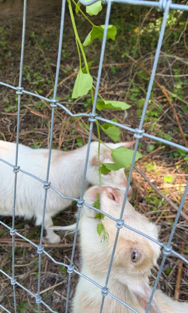
During the spring, we spent a majority of our work time outdoors, surveying and treating garlic mustard at properties throughout the District. Garlic mustard is one of the Oregon Invasive Species Council’s EDRR (Early Detection & Rapid Response) target plant species. We learned how to identify garlic mustard in each of their two life stages along with their native look-alikes so we could pull or treat them before they released more seed.

MOB & EAB Monitoring (Both Interns)
The District has been helping the Oregon Dept. of Agriculture (ODA) and Oregon Dept of Forestry (ODF) monitor for the Emerald Ash Borer (EAB) and Mediterranean Oak Borer (MOB) by setting up insect traps at various project properties in the district.
Every other week, we head over to Elk Rock Garden in South Portland to collect samples from the MOB funnel trap. We put up some new signage (made by James) for members of the public to learn about MOB.

We also put up EAB purple prism traps in ash stands at five locations across the district. So far, the first set of traps did not show any signs of EAB presence in the monitoring areas, but we still have 5 weeks left until we collect the second set of traps. We’ve heard news that EAB are making their way towards Multnomah County so we are anxious to see what our traps return.
In the meantime, WMSWCD has been hosting community education workshops on identifying Ash & Oak trees and signs of insect infestation, which we have been able to assist with. We’ve learned about the ecological and cultural significance of the habitats that these tree species support and are excited to share that knowledge with our community. Be sure to check out our upcoming workshops.
Drone Surveys (Both Interns)
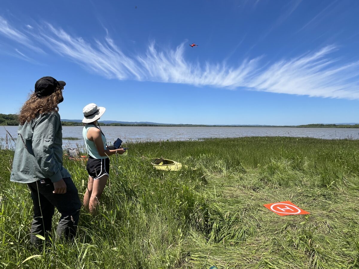
Drone work has been a fun part of the intern experience. Recently, we revisited several properties for whom we are developing forest stewardship plans. Shahbaz, our GIS & Conservation Technician and intern supervisor, pre-programmed flight paths for the drone to follow over the whole property, taking photographs at regular intervals. Later, Shahbaz will stitch the images together to create a single high-resolution aerial image that our Forest Conservationist will use for stewardship plans.
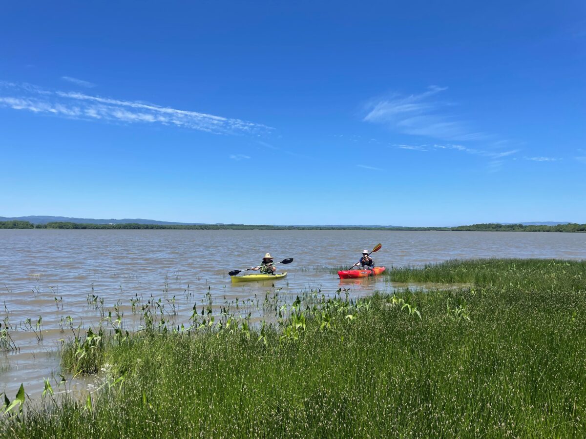
Earlier this summer, we had the opportunity to kayak around Sturgeon Lake to conduct an invasive plant species survey. We kayaked along the lakeshore in search of indigo bush (Amorpha fruticosa) and purple loosestrife (Lythrum salicaria). Shahbaz operated the drone, which allowed us to scan the area farther and faster than with kayaks alone. Packs of carp occasionally bumped into our kayaks, making for an exciting field day.
Vegetation Monitoring (Both Interns)
Vegetation monitoring is an important component of WMSWCD’s restoration work. This summer we have learned how to measure percent cover of herbaceous plant species. Many of the District’s sites are at some point replanted with native species. So, conducting vegetation monitoring allows us to track which species are doing well and which are declining or absent. During one of my (Pavlina’s) favorite outings, we surveyed small meadow patches that had been seeded with a native wildflower mix several years ago. I became familiar with many new species!

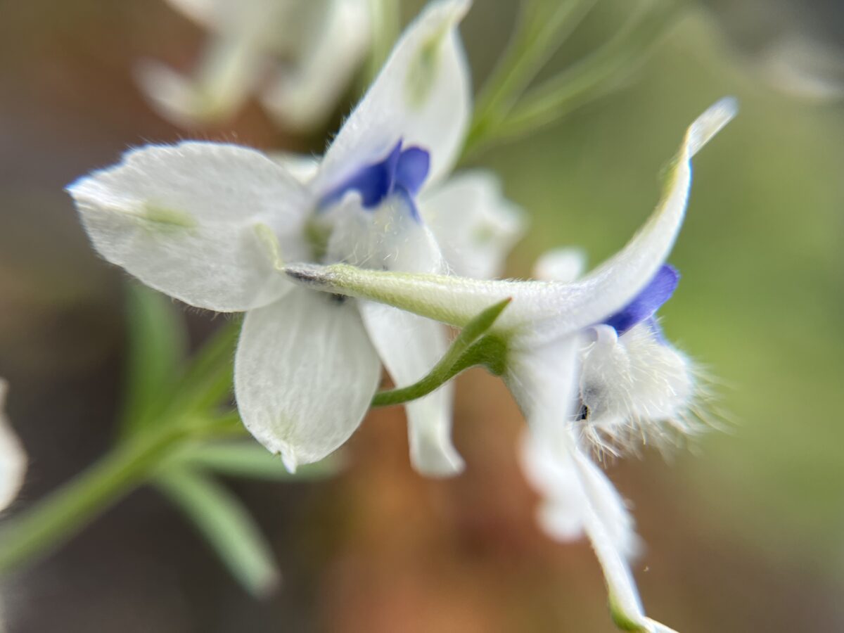

Many of the staff at West Multnomah get very excited about plant identification, so we were excited to hear about a rare species that was found in our district. Martina and I (James) went to the site to document the plant and search for more. We took some great pictures of the rare species Delphinium leucophaeum (also known as ‘pale larkspur’) and found an additional eleven plants growing nearby.
Forestry Measurements (Both Interns) & GIS (Pavlina)
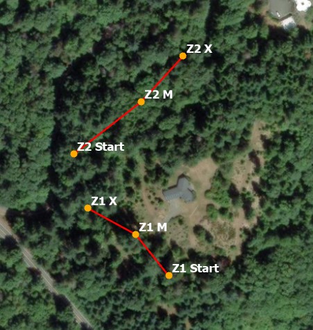
I (Pavlina) have been involved in a variety of GIS (Geographic Information Systems) projects, including map-making for forest stewardship plans. These plans describe a landowner’s current forest conditions and make recommendations for management. I visited one property with Laura, our Forest Conservationist, to take forestry measurements. The measurements included tree diameter at breast height, tree height and condition, and understoryUnderstory The area under and around trees plant species. We also recorded spatial data in an application called Fulcrum, such as where we started and ended our transects.
Back at the office, I exported these point and line data from Fulcrum into ArcGIS Pro, a mapping software. From there, I created a set of maps – soils, topography, water resources and streams, transect locations, and access roads. Laura will use these maps in the forest management plan. Using aerial imagery in ArcGIS Pro can be especially useful for breaking up a property into different forest “units.” This property has one unit with more conifers, while another part has more alder and maple. We saw this difference during our site visit, but aerial imagery can help determine where to draw those unit boundaries, and help us manage distinct forest types.
I particularly appreciated the throughline between field and office for this project. Seeing a habitat in real life makes the mapping portion of the work much more interesting and personal!

Conservation Planning (James)
As the field intern, I had the opportunity to participate in a site visit for a land owner’s recently acquired property. I got an introduction to writing a conservation plan for the new site. This site has a significant growth of Armenian blackberry, which we plan to cut back to restore native biodiversity and habitat around the construction of a new dwelling.
First, we had a follow-up site visit to make observations and document the current vegetation and conditions. Then, I drafted an overview of the site including maps of vegetation areas, topography, and hydrology and started to develop a treatment plan for the blackberry and other plants we would like to remove from the site. This was my first time using ArcGIS, so it was fun to dip my toe in the GIS world and draw parallels to design software which I’ve used before. Pavlina was a great resource for GIS tips and patiently helped me find workflows for my mapping tasks. Overall, the purpose of the conservation plan will be to help the landowners with their restoration and land management goals and promote habitat connectivityConnectivity the degree to which patches of landscape are connected, either helping or impeding animal movement and other ecological processes like the flow of water or dispersal of seeds with their neighbors, who also work with the District.

Thanks for following along! We’re excited to see what the last two months of our internships bring.


