With the construction of the Sauvie Island levee by the U.S. Army Corps of Engineers (USACE) in the 1940s, open water and wetland habitat on the island was reduced by 45%. The levee and the dams further upstream on the Columbia River altered hydrology and sedimentationSedimentation Fine soil particles that are washed into streams collect at the bottom and make water cloudy in Sturgeon Lake, reducing its size and making it shallower. In 1996, a massive flood carried debris into Dairy Creek, cutting off access between the river and the lake. The Sturgeon Lake Restoration Project in 2018, a partnership effort including West Multnomah Soil & Water Conservation District, Columbia River Estuary Study Taskforce (CREST), Bonneville Power Administration, Oregon Wildlife Foundation, USACE, Multnomah County, Oregon Department of Fish and Wildlife (ODFW) with support from several key funders, reopened that connection by replacing failing culverts with a channel spanning bridge and removing the blockage within Dairy Creek.
Today, Sturgeon Lake covers 3,000 acres, yet grows to almost 7,000 acres when the Columbia River reaches flood stage. These winter high water periods benefit fish and waterfowl by providing increased seasonal habitat. The lake offers winter habitat to ducks and geese, and juvenile salmonids which have left the turbulent main river to seek refuge in the calm lake and sloughs. The fish use this time to feed and increase in size and hardiness which increases their likelihood of survival when they reach the ocean.
General Project Status: It has been three years since the project was completed and we have seen fish beginning to return to the lake. All other elements of the project are also performing as expected. While the shape of some parts of the Dairy Creek channel have changed relative to the design, the overall width and depth have remained stable. Increased sinuosity – more curves and bends in the creek – along with minor amounts of sediment being deposited or scoured away have changed the shape of the bottom of the channel, but this has not resulted in a change to the capacity to move water and fish into the lake. All key monitoring metrics reflect this and point to a very successful project.
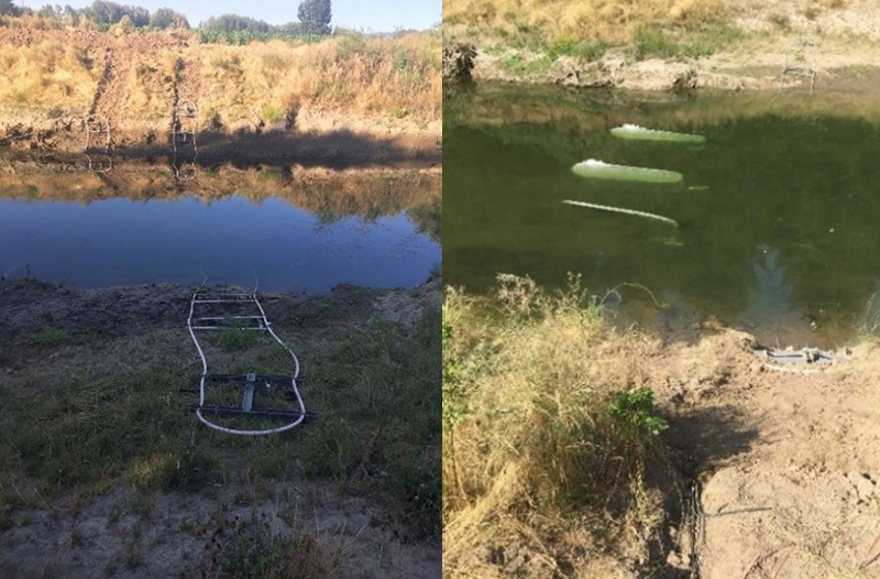
Data Collection: In late 2020, ODFW and CREST installed Passive Integrated Transponder tag arrays – sets of antennae – in Dairy Creek on Sauvie Island. When a fish that has been “tagged” with a transponder swims by the array it is detected and its unique ID number is captured, which has information on where the fish came from, its species, and when it was tagged. While hatchery fish are the most commonly tagged fish, biologists capture and tag wild fish as well. To date, the Dairy Creek tag array has detected seven different salmonids and sturgeon species using the waterway. These include hatchery Summer Steelhead, hatchery Summer Chinook, hatchery Fall Chinook, wild Steelhead, wild Summer Steelhead, and wild Coho. See daily data from the array.

Water surface data show higher flows year-round in Dairy Creek with daily low and high tides. This has resulted in improved water quality with lower water temperatures and more dissolved oxygen levels.
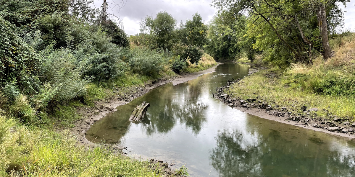
Condition of Dairy Creek: In 2017, a year prior to construction, the monitoring team from CREST and West Multnomah Soil & Water Conservation District measured cross-section elevations at 16 points along Dairy Creek between the Columbia River and the lake. In September 2021, the team took new measurements which concluded that there are small amounts of sediment buildup, but mostly in areas where it’s common for sediment to accumulate within a natural river system, such as the inside of river bends. All cross-section data show elevations of the channel bottom are below thresholds set prior to construction. Most cross-sections showed little to no accumulation of sediment and all are still within 6-12 inches of the design elevation. Consensus within the team is the channel bottom is reaching a natural state of equilibrium and overall sediment accumulation and loss is neutral, with some additional build-up at the mouth, which the team is watching.
Likewise, there are no significant deposits of large woody material or beaver dams in place within Dairy Creek. While beaver activity has been occurring, especially near the Columbia River, any attempts by the beavers to dam the creek have been undone by high winter flows. A few logs have also made their way over or under the debris boom. This occurs when the river is high; logs are pushed up against the boom by river flow and ship wakes. The wakes lift and submerge the floating boom sections and allow the logs to work their way both over and under. However, these logs have passed through Dairy Creek, many adding to a complex of beaver dams and lodges on the wetland fringe in the southeastern portion of Sturgeon Lake. This area provides great habitat for fish, and there appears to be no impact on the flow capacity of the creek. The channel is still freely flowing and providing full year-round fish access, even during the low water periods of late summer.
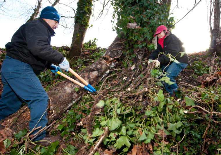
Native wooding plantings: In 2018 and 2019, project contractors planted tens of thousands of native shrubs and trees on both sides of Dairy Creek, covering about 12 total acres. Crews treated reed canary grass, blackberry, and other competing vegetation three times per year in order to give the native plants a better chance of survival. The native trees and shrubs are now about 3 feet tall, and as of September 2021, most planted areas are on a very positive growth trajectory even after the long, hot, dry summer in 2021.
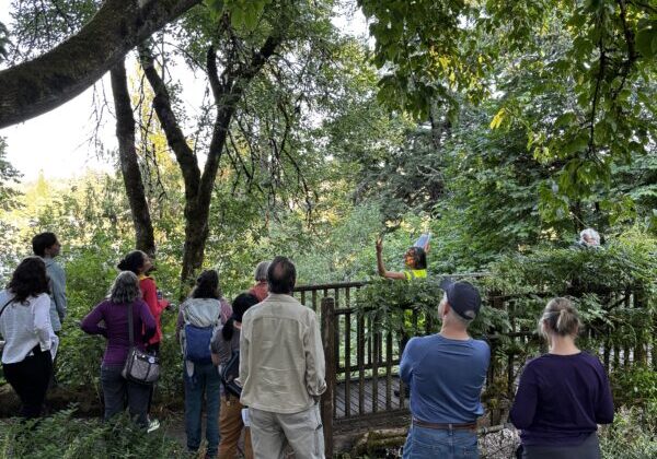
After decades of hard work and partnership, the Sturgeon Lake Restoration Project appears to be heading towards a great success. Fresh flows and tides now reach every part of the lake. Fish have begun to use the reconnection of Dairy Creek to access the lake. Deer, river otter, and a whole assortment of wildlife have been observed using the Dairy Creek corridor. The project partners will continue maintenance annually to track the project’s effectiveness. Monitoring metrics include aerial drone imagery, water quality, vegetation surveys, channel cross section surveys, and fish monitoring. This data is collected to help answer key questions, including: Is the channel filling in with sediment? Is the riparianRiparian areas The land alongside a stream, creek, river, or floodplain area providing additional shade cover? Are native fish, specifically juvenile salmon using the site? So far, all signs point to a happy and healthy Sturgeon Lake.


